

|
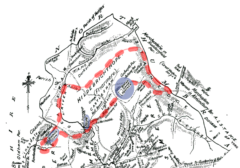
This is a map of the Roebuck Low / Castleshaw
area as it would have been in Roman times. |
|
 |
|
|
|
|
|
The copyright of this website 2002 to 2008 belongs to the web owner. No part of this website may be sold, used for commercial
purposes or republished in any form, either in print, electronically
or otherwise, without the express permission of the web owner.
Any person, company or organisation found to be in breach of
the foregoing will be liable to prosecution. |